UNICEF (2021) W-SHARP: Linking Climate-Resilient WASH, Social Protection and Food Security to Empower Women in Maharashtra, India
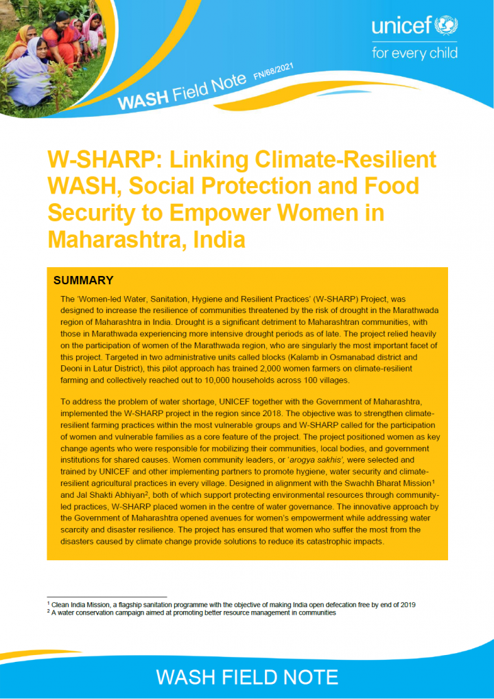
The ‘Women-led Water, Sanitation, Hygiene and Resilient Practices’ (W-SHARP) Project, was designed to increase the resilience of communities threatened by the risk of drought in the Marathwada region of Maharashtra in India. Drought is a significant detriment to Maharashtran communities, with those in Marathwada experiencing more intensive drought periods as of late. The project relied heavily on the participation of women of the Marathwada region, […]
Online since: 04.10.2021
Views: 1709
Downloads: 78
Jacob, N. (2021) Thematic Discussion Synthesis Document Convergent Actions for Improved WASH and Nutrition
This discussion attempted to understand linkages between the preventive and curative aspects of health and WASH and tease out what prevented them from working together. It explored ways to converge programmes in these two areas.
Online since: 04.10.2021
Views: 2308
Downloads: 3772
Emanti Management (2021) SFD Lite Report - Tarkastad
Tarkastad (GPS coordinates: 32.0048 S, 26.2717 E) is a primary development node and serves as the local administrative centre for Enoch Mgijima LM (Enoch Mgijima Local Municipality, 2017). Tarkastad used to form part of the Tsolwana Municipality which was subsequently absorbed as part of the Enoch Mgijima LM. Tarkastad initially developed as a farming area and later as a church centre and a municipality in […]
Online since: 30.09.2021
Views: 2914
Downloads: 157
CSE (2021) SFD Lite Report Nehtaur India
Nehtaur is a small town in Bijnor District, Uttar Pradesh and is located 26 km to East of BijnorNehtaur is a small town in Bijnor District, Uttar Pradesh and is located 26 km to East of Bijnorcity, District Headquarters (Figure 2). According to Census 2011, Nehtaur had a populationof 47,834 residing in 7,438 households (HHs). The population of the city as per SwachhSurvekshan (country wide […]
Online since: 27.09.2021
Views: 3047
Downloads: 118
Centre for Science and Environment (2021) SFD Lite Report Nanded India
Nanded is a historical city located in the Marathwada region of Maharashtra State in India (Annex 1 and Annex 2)1. Nanded Waghala is regarded as the second most holy city after Amritsar due to the presence of Gurdwara Takhat Shri Hazur Sahib, one of the five Takhats of the Sikh community2. Nanded is also the second-largest city in the Marathwada region of Maharashtra and the […]
Online since: 22.09.2021
Views: 3396
Downloads: 186
CWIS-FSM Support Cell, DPHE (2021) SFD Lite Report Rangamati Municipality, Bangladesh
Rangamati Hill District is a district in south-eastern Bangladesh. It is a part of the Chittagong Division and the town of Rangamati serves as the headquarters of the district. By area, Rangamati is the largest district in the country. Rangamati is one of the 53 district-level Municipalities in the country. According to the population census in 2011 by the Bangladesh Bureau of Statistics (BBS), the Rangamati […]
Online since: 22.09.2021
Views: 1567
Downloads: 86
TRCSS, JNU (2021) SFD Lite Report Gurugram, Haryana India
Gurugram, located 30 kilometres (km) southwest of the national capital of New Delhi, etymologically traces its roots to the ancient legend of Guru Dronacharya (Figure 2). The city is located at 28o 7’21” N and 77o 1’44” E with a mean elevation of 217 m above sea level. While there are no perennial rivers in the city, smaller seasonal streams drain the city which have […]
Online since: 22.09.2021
Views: 2757
Downloads: 156
CWIS-FSM Support Cell, DPHE (2021) SFD Lite Report Ishwardi Municipality, Pabna Bangladesh
Ishwardi municipality is a sub-district town of Pabna District under Rajshahi Division, Bangladesh, which is 282 km away from Dhaka City. The municipality was established in 1974. The city is located in the plain area of Bangladesh, situated on the bank of the Padma River. It consists of 9 wards and 27 Mahallahs (small cluster based area of population). It is also the headquarters of […]
Online since: 22.09.2021
Views: 1612
Downloads: 142
Ocean Sewage Alliance (2021) A Practitioner’s Guide For Ocean Wastewater Pollution
Ocean wastewater pollution is serious, pervasive, and overlooked. Ignoring ocean wastewater pollution has consequences which threaten local and national economies, public health, fisheries, and coastal security, and can even amplify the impacts of climate change. Efforts to improve ocean health have most recently focused on establishing marine protected areas, improving fisheries management, and restoring coastal habitats. However, all this work is dependent on good water […]
Online since: 21.09.2021
Views: 975
Downloads: 32
Luthra, B., Karthykeyan, D. (2021) How swachh (clean) is urban India today?
A rapid assessment of sanitation in Urban India using a National SFD brings out the reality of actual situation on ground and also maps the gaps in various stages of the sanitation chain. Given that the next phase of Swachh Bharat Mission is around the corner, it would be worthwhile to extract learning from the Shit Flow Diagram of Urban India, so that interventions can […]

Online since: 17.09.2021
Views: 1128
Downloads: 1786
Dhakal, S.B. (2021) Children Lead the Way to Safe Water and Improved Sanitation in Madarhawa, Nepal
In 2020 UNICEF Nepal’s implementing partner COSDER, Gorkha observed that Madarhawa village (480 inhabitants and 1 school), Nepal (located 60km northwest of Lumbini) was without improved WASH infrastructure and that its inhabitants were not observing improved sanitary and hygiene practices. COSDER, Gorkha decided to act and trained the children of Madarhawa on WASH related issues and solutions. In return they spurred the repair and reconstruction […]
Online since: 02.09.2021
Views: 2252
Downloads: 54
Dhakal, S.B., Bishwakarma, D.R., Shrestha, R., Ahmad, T. (2021) Water Safe Communities: An Approach Towards Achieving SDG 6.1 in Nepal
As per the Constitution of Nepal, access to safe drinking water is a basic human right. A “one-house - one water-tap” policy is being implemented to progressively realize universal access to safe drinking water by 2030, to meet the Sustainable Development Goal (SDG) targets for drinking water. In response to increasing concerns over water quality, UNICEF supported the Government of Nepal to successfully pilot the […]
Online since: 02.09.2021
Views: 1897
Downloads: 3145
Centre for Science and Environment (2021) SFD Lite Report Sarai Taikore, Chunar India
Sarai Taikore south is a small Low-Income Group (LIG) settlement in Chunar Nagar Palika Parishad (CNPP) (geographical coordinates 25°06'53.7"N 82°52'25.7"E) in the state of Uttar Pradesh, India (Figure 1). It is located within Ward No. 5 of Chunar Nagar Palika Parishad (the city has a total of 25 wards). As per Census of India, 2011, Sarai Taikore south is part of Ward No. 5 and […]
Online since: 01.09.2021
Views: 1600
Downloads: 89
Centre for Science and Environment (2020) SFD Lite Report Nawabganj India
Nawabganj is a town and a nagar panchayat in Unnao district which is situated between Lucknow and Kanpur in the Indian state of Uttar Pradesh. It belongs to Lucknow Division. It is located 24 Km towards East from District head quarters Unnao. It is a Block head quarter. Nawabganj was established by Nawab Ramzan Ali (Nawab of Sheesh Mahal Estate Lucknow) in 1858. He established […]
Online since: 01.09.2021
Views: 1753
Downloads: 71
Centre for Science and Environment (2021) SFD Lite Report Kalyanpur-Panki India
Kanpur is the biggest city of the state and is the main centre of commercial and industrial activities. Formerly it was known as Manchester of India. Now it is the commercial capital of Uttar Pradesh. It is situated on the right bank of the Ganga River. The city is famous for its leather and textile Industry. As per statistics released by District Industrial Corporation, Kanpur, […]
Online since: 31.08.2021
Views: 1434
Downloads: 102
GFA Consulting Group GmbH (2021) SFD Final Report Rhino Refugee Settlement and Host Community Uganda
Rhino Refugee Settlement is in the North-West Nile Region of Uganda. The settlement covers an area of approximately 225 km2 and stretches over parts of Odupi, Omugo, and Uriama sub-counties (Terego District) and extends into Rigbo sub-county in Madi-Okollo District. The settlement is divided into ten zones and has 42 villages. It is important to understand that Rhino refugee settlement is not a continuous geographical […]
Online since: 31.08.2021
Views: 2021
Downloads: 246
GFA Consulting Group GmbH (2021) SFD Report Terego District Uganda
Terego District is a newly established district in the West Nile part of the Northern Region of Uganda. The district comprises of six sub-counties: Aii-Vu, Bileafe, Katrini, Odupi, Omugo, Uriama and 39 parishes. The administrative headquarters of Terego District is Leju trading centre in Aii-Vu sub-county (The Independent, 2020). Terego district hosts significant refugee populations in Imvepi Refugee settlement (Odupi sub-county) and Rhino Refugee […]
Online since: 31.08.2021
Views: 5150
Downloads: 8591
GFA Consulting Group GmbH (2020) SFD Report Imvepi Refugee Settlement and Host Community Uganda
Imvepi refugee settlement is located in the newly established Terego District in the West Nile part of the Northern Region of Uganda. Terego district was carved out of Arua District with effect on 1st July 2020 (The Independent, 2020). Imvepi settlement is located in Odupi sub-county and was opened in February 2017 and currently hosts 67,439 refugees of which the vast majority are from South […]
Online since: 31.08.2021
Views: 2881
Downloads: 4788
Emanti Management (2019) SFD Lite Report Ugie uMshwati Local Municipality, Elundini Local Municipality, Joe Gqabi District Municipality Eastern Cape Province, South Africa
This SFD was developed for Ugie located within the Elundini LM (Figure 3). Other towns in Elundini LM include Maclear and Mount Fletcher (Joe Gqabi District Municipality, 2018). Ugie developed from a mission station at Gatberg and was established and named in 1863 by William Murray after the Ugie River in Scotland. The town was founded in 1885 (Eastern Cape, 2021). The town serves as […]
Online since: 31.08.2021
Views: 1883
Downloads: 3068
Emanti Management (Pty) Ltd (2021) SFD Report Ulundi Local Municipality Zululand District Municipality KwaZulu Natal, South Africa
This SFD Intermediate Report was developed for Ulundi Local Municipality (LM). The Ulundi LM is categorised as a Category B Municipality within the Zululand District Municipality (ZDM), KwaZulu Natal Province. The responsibility of planning and development, including the supply of water and sanitation services, lies with ZDM for Ulundi LM. The Ulundi LM is approximately 3,250 square kilometres (km2) and is located on the southern […]
Online since: 30.08.2021
Views: 2384
Downloads: 3951